Planning constraints
Nimbus offers a comprehensive range of tools to understand planning policy and environmental, heritage and strategic land constraints, including flood zones, listed buildings, conservation areas – and many more.
How it works
Use our tools to see constraints that might preclude your proposed development from getting consent.
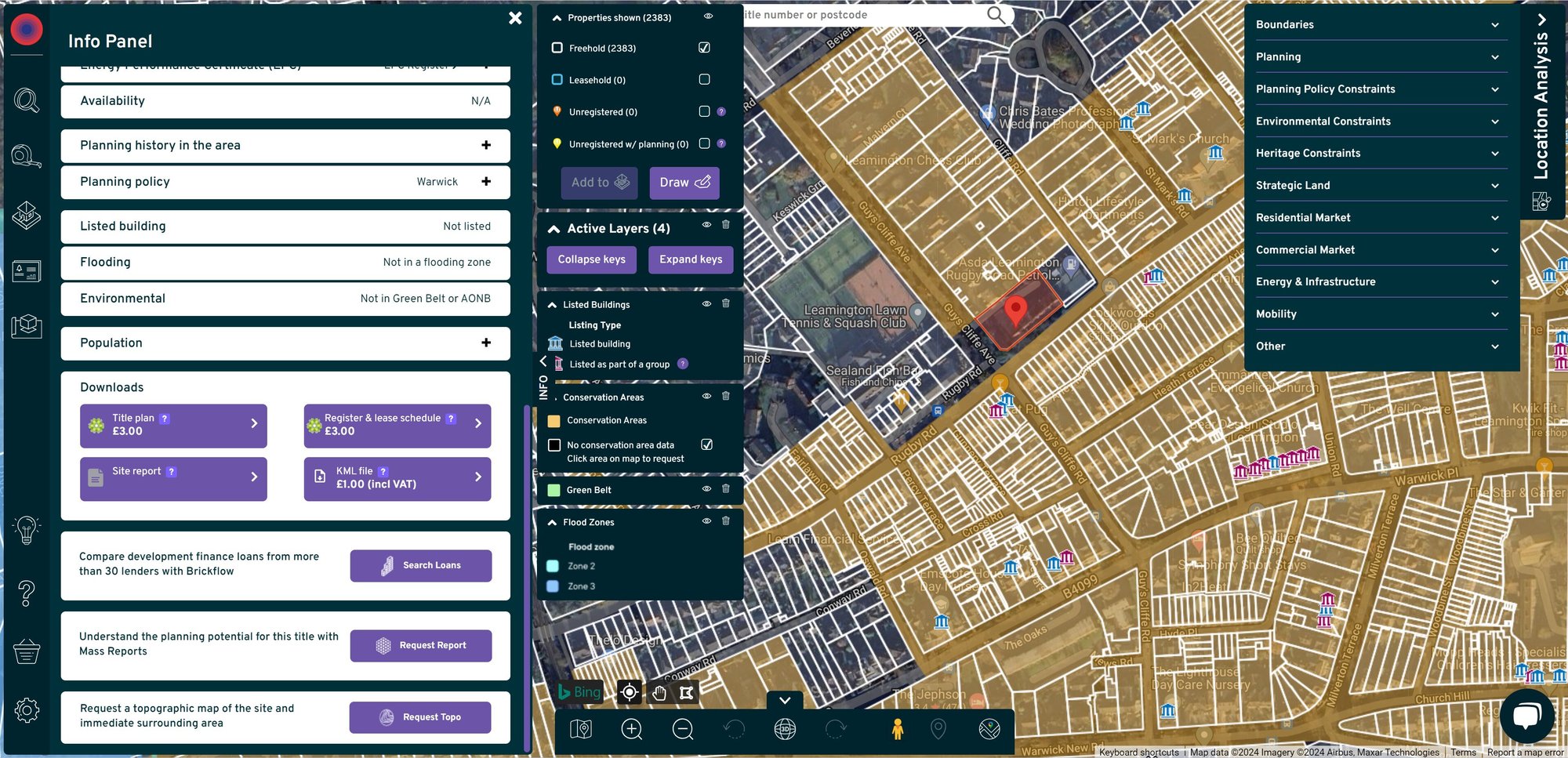
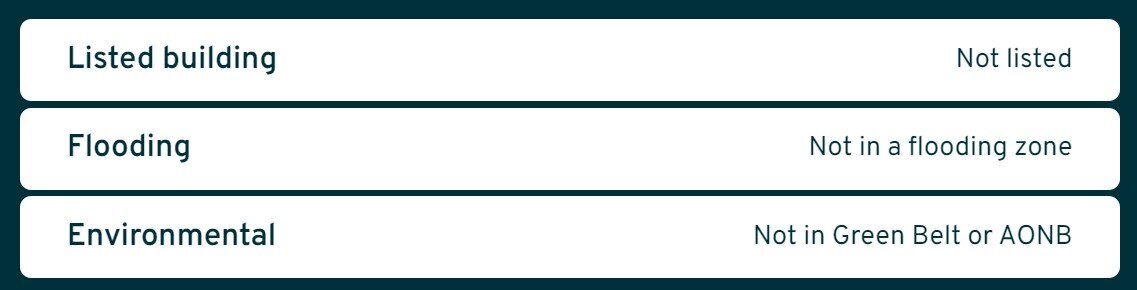
- The info panel will alert you to properties that are listed, that flood or are in green belt or areas of natural beauty.
- Get further detail with our Location Analysis tool to see planning policy, environmental and heritage constraints overlayed on the map.


Info at a glance
Click on any property and immediately check if the property is listed, if it floods, is in a green belt or in an area of outstanding natural beauty (AONB).
Planning policy
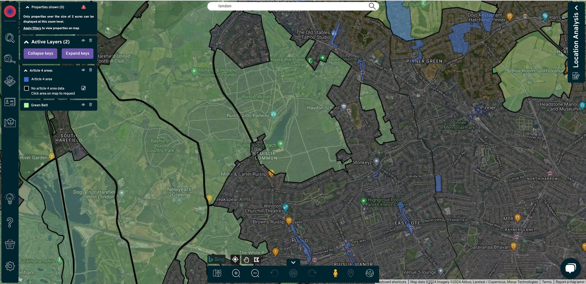
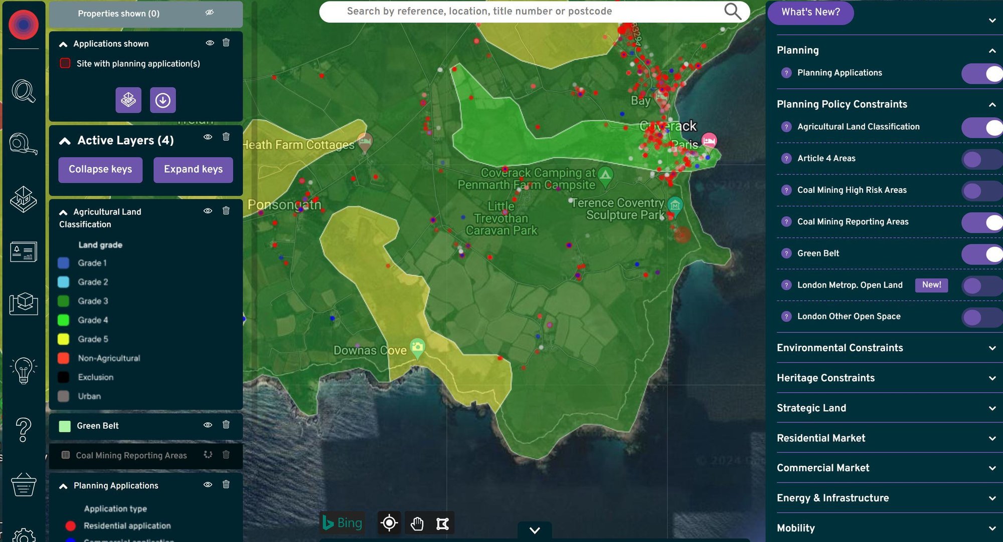
Plot planning policy directly on the map around your target site or search with the layers showing, to ensure you have a clear picture of what's possible on the site. Display green belt, settlement boundaries, Article 4 areas, agricultural land grade classification – and much more.


Environmental constraints
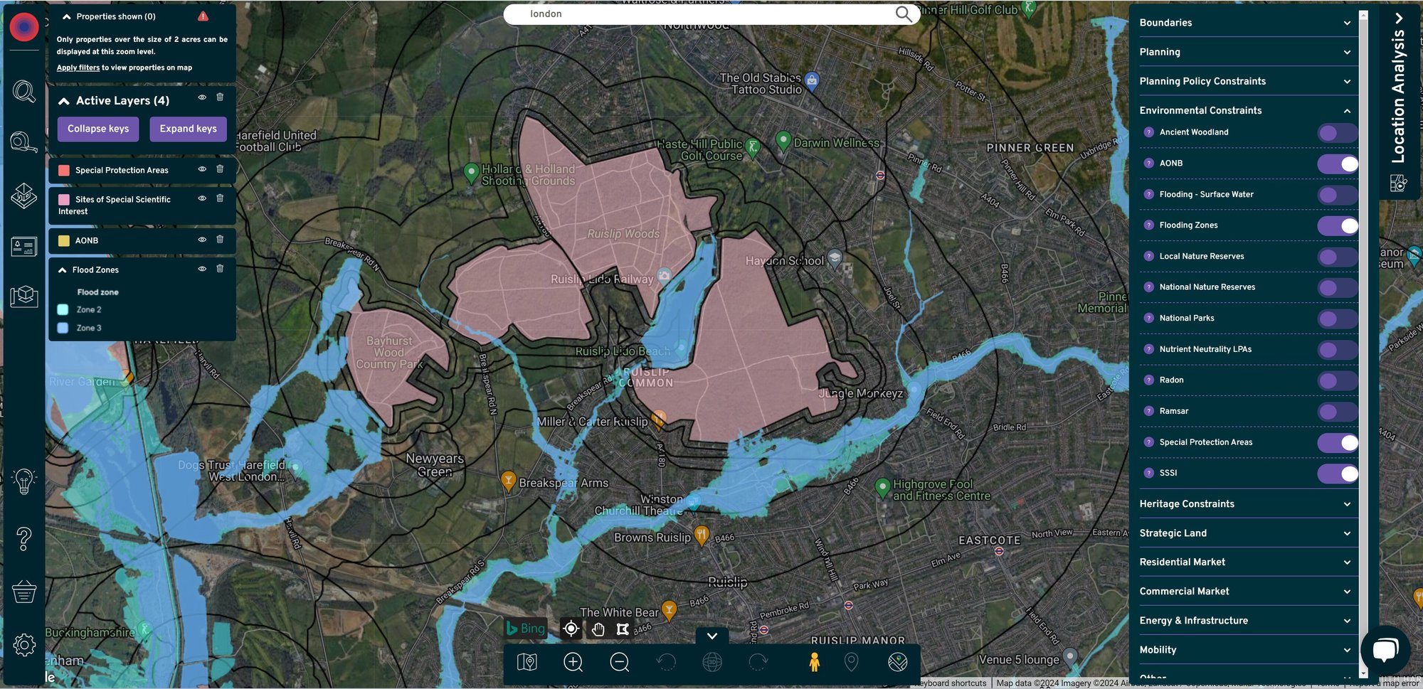
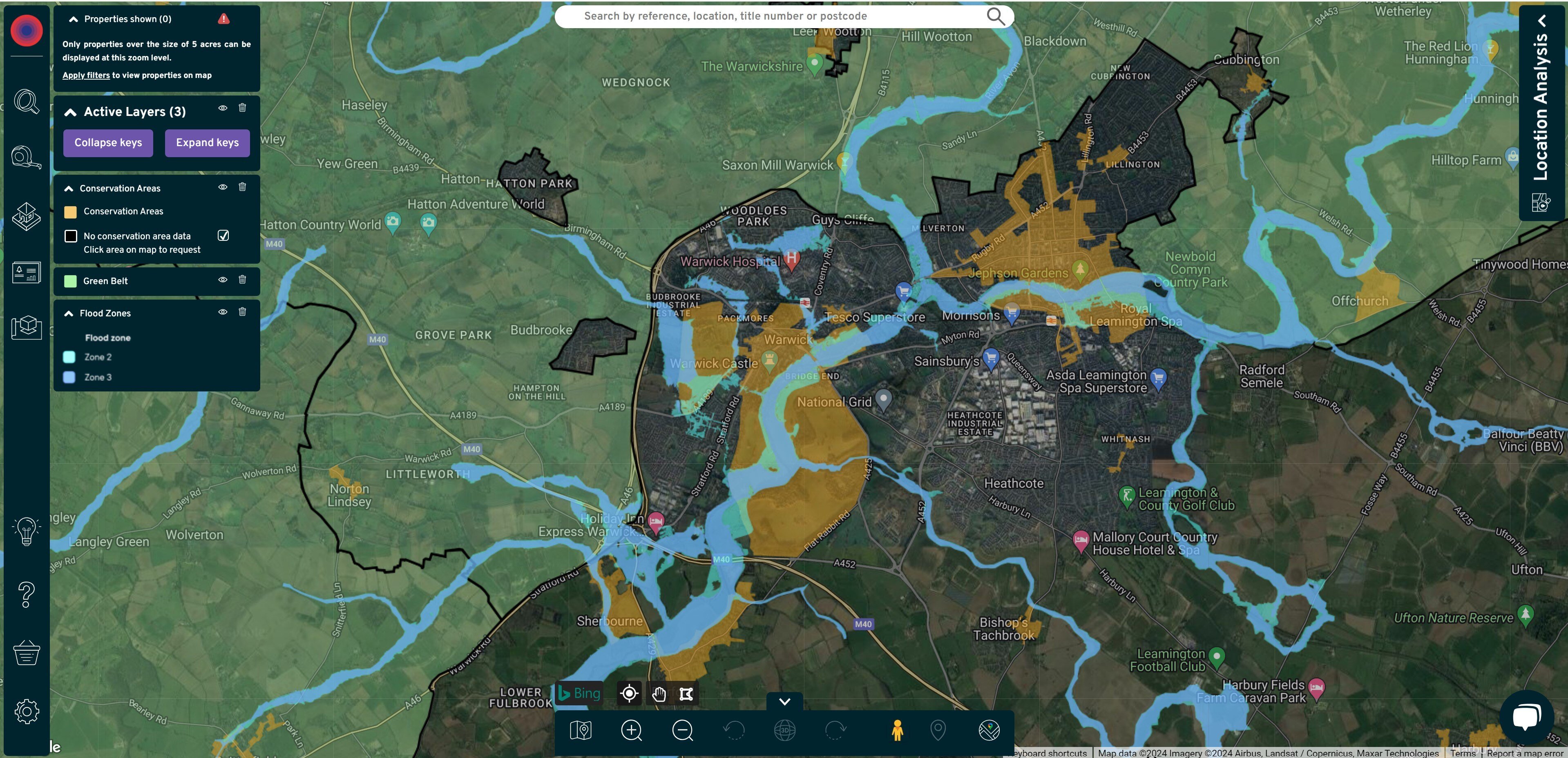
Overlay environmental constraints onto your map view, from flood zones to sites of special scientific interest (SSSI) and Special Protection Areas (SPAs).
Heritage constraints
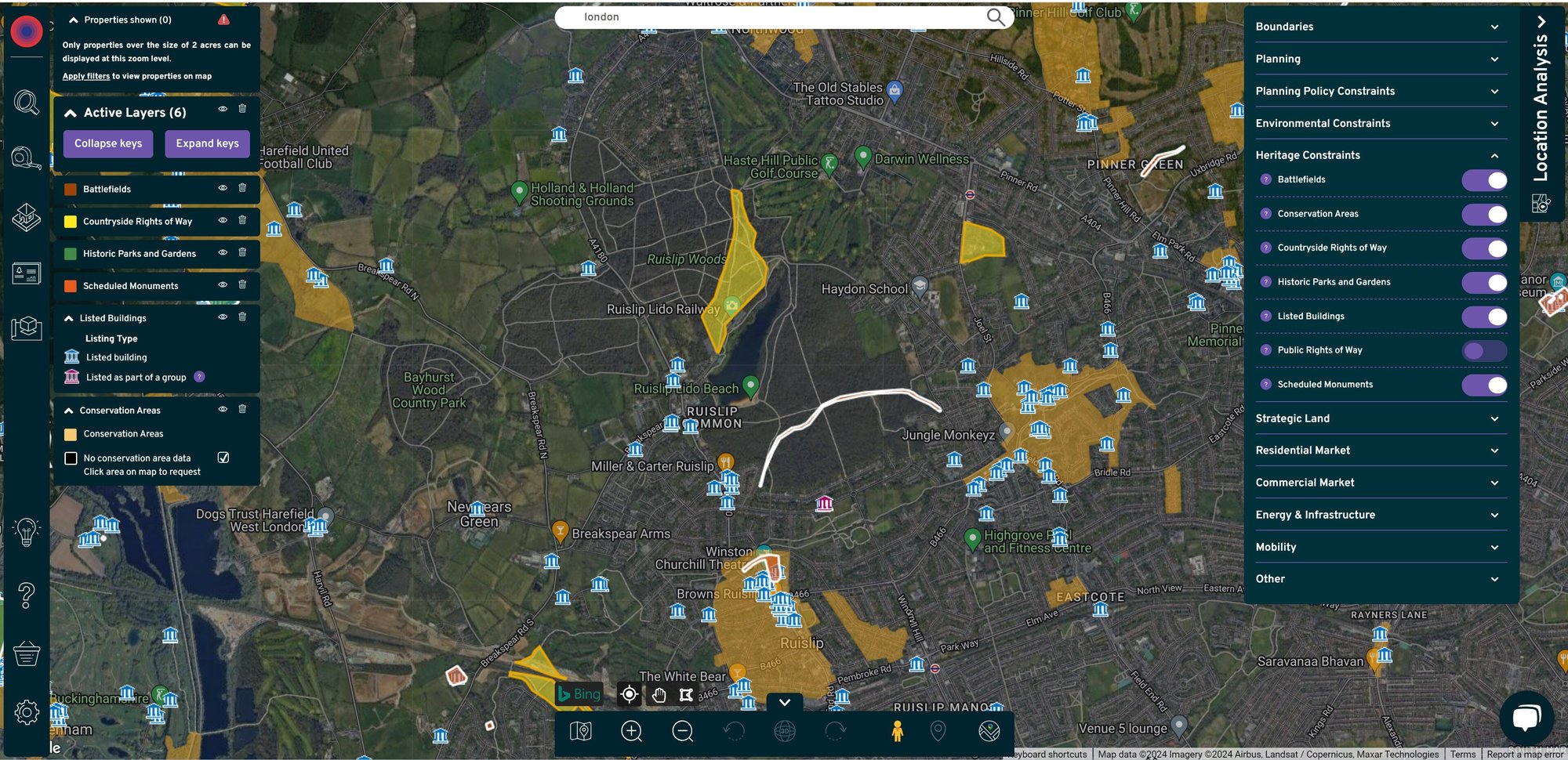
Understand the heritage status of any property to ensure you understand the significance of the asset your are working on. See whether a site is listed, group listed, in a conservation area, a scheduled monument or close to a historic battlefield.


Strategic land
Plot SHLAA sites, brownfield land registers, Housing Delivery Tests information and more on the map to visually identify where the pockets of opportunity sit around a settlement.
- Bullets are great
- For spelling out benefits and
- Turning visitors into leads.